Artificial Intelligence for Real-World Challenges
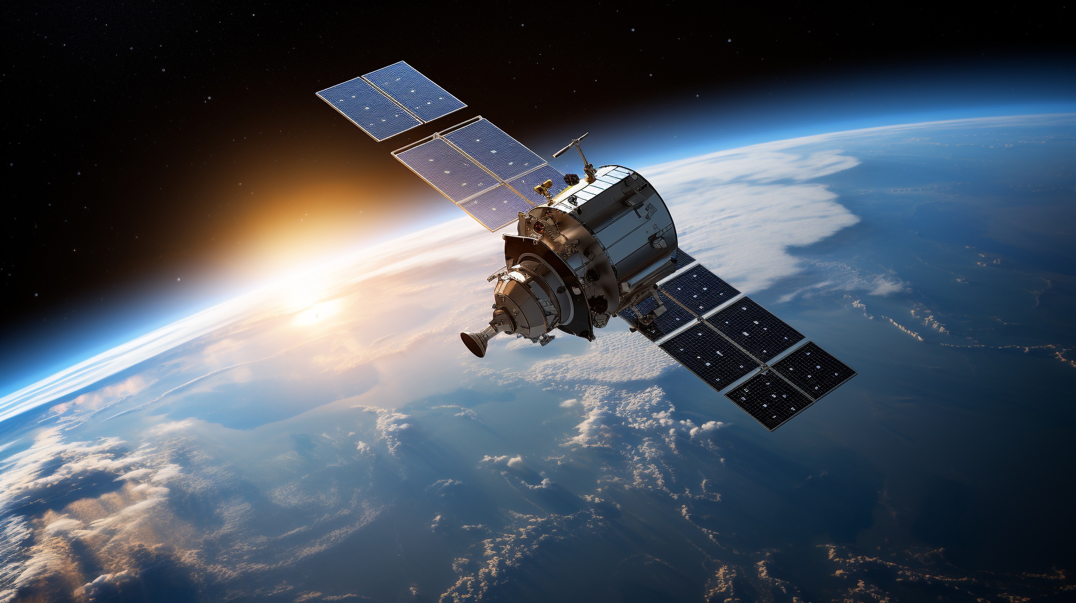
Degas is transforming how Earth Observation Data is used. Our Large Geospatial Model (LGM) turns satellite imagery into actionable intelligence for agriculture, government monitoring and insurance, with applications extending into many other industries, enabling better decisions, faster and at lower cost.
The LGM overcomes the traditional limitations of remote sensing: instead of slow, fragmented, and expensive analyses, we deliver insights that are scalable, consistent, and continuously improving, making it possible for farmers, governments, and industries to act faster, reduce risks, and create lasting impact for the people they serve.. Our AI learns from massive volumes of imagery and drastically reduces the need for ground-truth data, making it possible to apply state-of-the-art models in any geography quickly and efficiently.
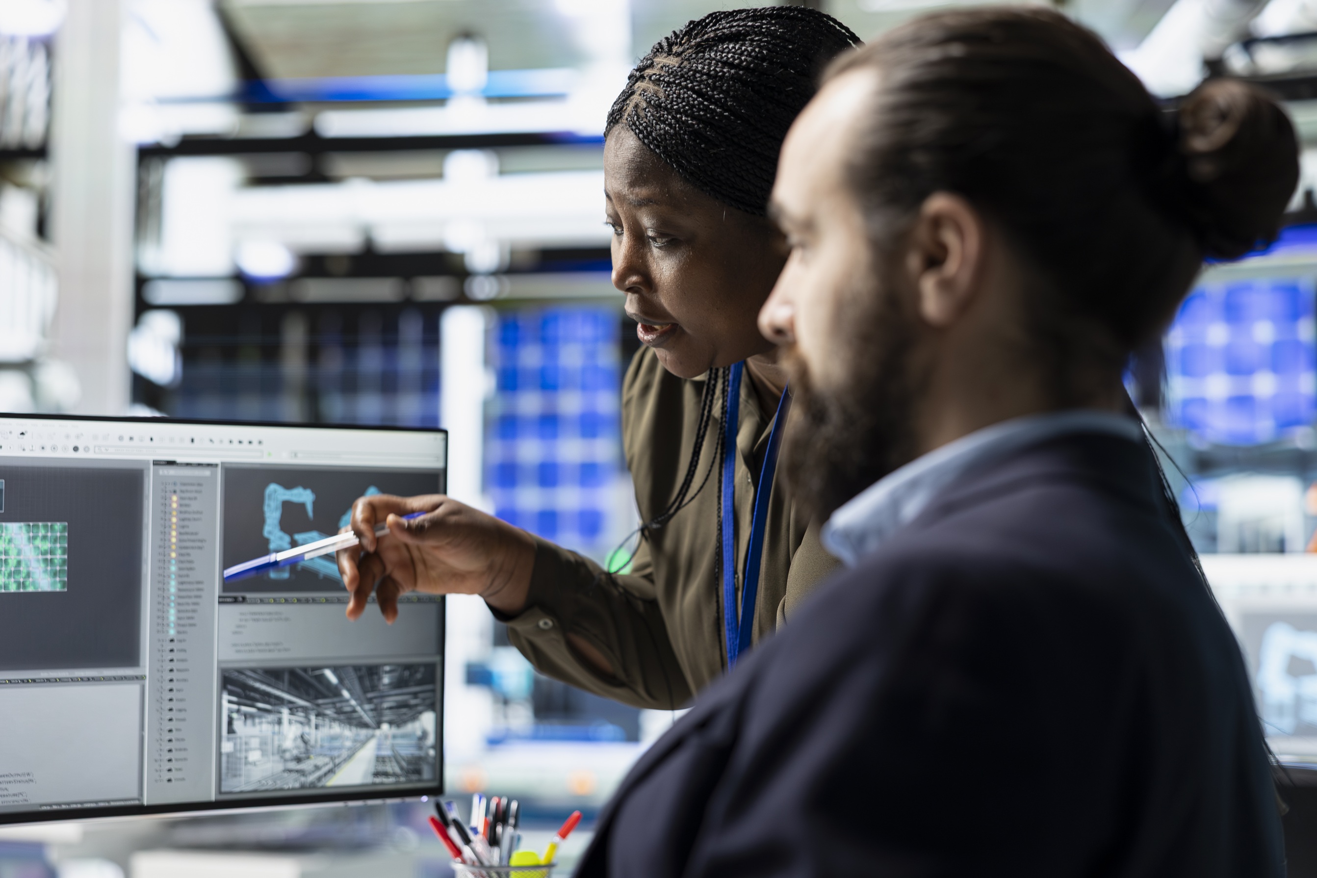
Our first breakthrough came with Degas 100M, a foundation model trained on millions of satellite images from the Sentinel-2 constellation. Benchmarking showed that our model outperformed NASA/IBM’s Prithvi across all major tasks in the PhilEO benchmark, including land cover classification and segmentation. See our paper.
But agriculture is not static. Farms evolve over time, and good decisions require a memory of the past. That’s why we built the first large-scale model designed to process five years of historical satellite data. Trained on over half a million long time-series, our model adapts seamlessly to a range of agricultural tasks—from predicting yield to mapping crop cycles, using deep temporal context.
Climate resilience
Flood, drought, and wildfire detection, with 90%+ accuracy. Applications in climate adaptation and emergency response.
Financial inclusion
Parametric insurance, advanced risk assessment, claims automation, and market forecasting for greater access.
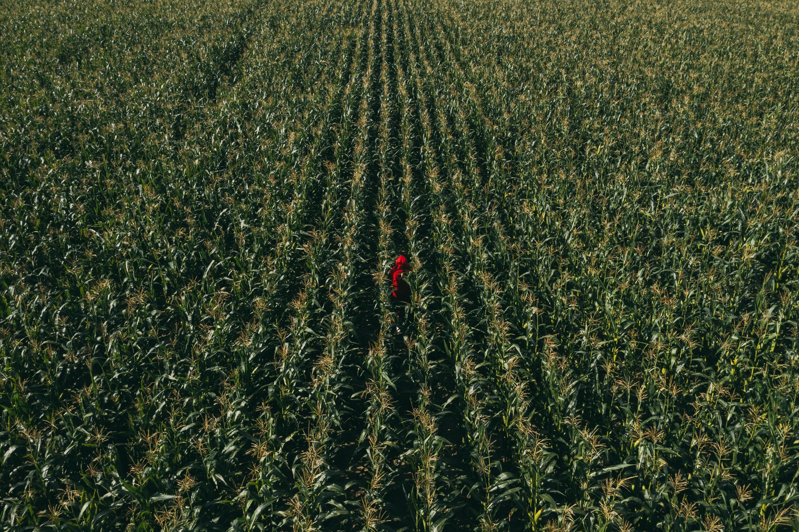
Food security
Yield prediction, crop disease detection, soil health optimization, and smarter resource allocation.
Infrastructure development
Monitoring urban growth, housing, pipelines, utilities, and land and resource management to guide planning and investment.
Security & Stability
Border monitoring, near real-time situational awareness, and intelligence support for safer communities.
Degas combines boots-on-the-ground data from Farmer Financing with cutting-edge AI research. This synergy allows us to build foundation models that are not only state-of-the-art but also deeply rooted in real-world operations.
With Degas, Earth Observation becomes more than data: it becomes intelligence for resilience, growth, and sustainability.